Laurel is a town in Franklin County, in the Cincinnati metro area.
The community was named either for Laurel, DE, or for Laurel, MD [NOTE: This is not the only community in Indiana named Laurel.
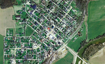
Nearby Wiley Indian Mound is a Summit in the state of Indiana (county of Franklin), located at latitude - longitude coordinates (also known as lat-long or GPS coordinates) of N 39.49616 and W -85.20191. Wiley Indian Mound is shown in the center of the topographic (topo) map, which is sourced from the United States Geographical Survey map USGS Metamora quad.
|